 Catàleg local de Mallorca
Ajuntament de Manacor
Type of resources
Available actions
Municipios
INSPIRE themes
Keywords
Contact for the resource
Provided by
Years
Formats
Representation types
Service types
Scale
-
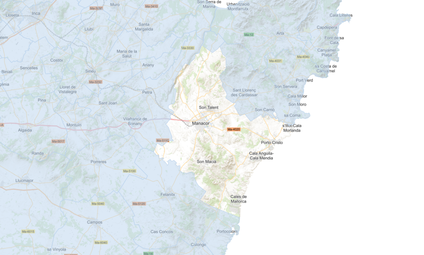
Data set that contains different layers of information and current planning of the municipality of Manacor, including the Heritage Catalog, definitively approved on January 1, 2022. The reference system: ETRS89. Projection system: UTM zone 31. Storage format: Postgis and Geopackage.
-
Web Map Service that allows access to the cartography of the General Urban Planning Plan (PGOU) of the municipality of Manacor for the year 2022. The service contains all the layers that make up the PGOU: urban and rural classification, classification, sectors, APT, wetlands, cataloged elements, coastal protection zones, among others. The associated symbology of the capes is defined by the Manacor City Council following the existing symbology in the official pdf plans that can be consulted at https://plageneral.manacor.org. Access to this service is free as long as Manacor City Council appears as the owner of the data and Consell de Mallorca as the owner of the service.